
Whats it all about then?
- chris3637
- Oct 29, 2020
- 3 min read
The general concept for Great Trails has developed over many years and frankly is not new, with the history of terrain modelling going back as far as the 16th century at least. In fact in 1875 a large (4.2m x 4.5m), three dimensional, model of the Lake District was constructed in Keswick which tourists could view for a charge of one shilling (~£6 in todays money). This model itself built on the success of a smaller model that had proved very popular in 1834.

The reasons for the popularity of these models with visitors can only be guessed at, but are likely to be something to do with the scarcity of information on the area that they had come to visit. Maps offered very limited detail with paintings really the only alternative view, so a fair amount of analysis and imagination was required to build an overall picture. A three dimensional model solved this problem by putting all significant features into a single context.
Today we have the opposite problem, one of information overload, with a vast variety of websites, maps, guides etc.. all providing useful input. However the lack of a common reference can still lead to confusion and a disappointing lack of confidence in what to expect.

It is still true that people engage with models and they are a way of presenting a lot of information in a very efficient way. This builds confidence and it follows that this will draw people to visit a particular area. It is for this reason that Great Trails was conceived to update the physical terrain model concept with a digital model that can be explored on multiple levels.
We achieve this by building a three dimensional computer model that can take data from an unlimited number of sources. This information may all be viewed in the context of the model at a variety of scales. This information can be fairly static, such as the form of the landscape and the route of a walk, or dynamic such as the price of a hotel room or position of a ferry. The amalgamation of all this information into a single model produces a Mirror World or Tourism Digital Twin that may be used as a potent marketing tool.
The Great Trails model is built on Games Engine technology that is routinely used for world building and contains comprehensive and flexible capabilities for developing and distributing the model. Currently we are working on three levels for exploring the model
Overview - “Fly” above the model, much in the same way as the physical relief models would have been viewed many years ago. The Great Trails model adds interactivity though so Peaks, Routes, Lakes etc.. may all be individually identified and explored.

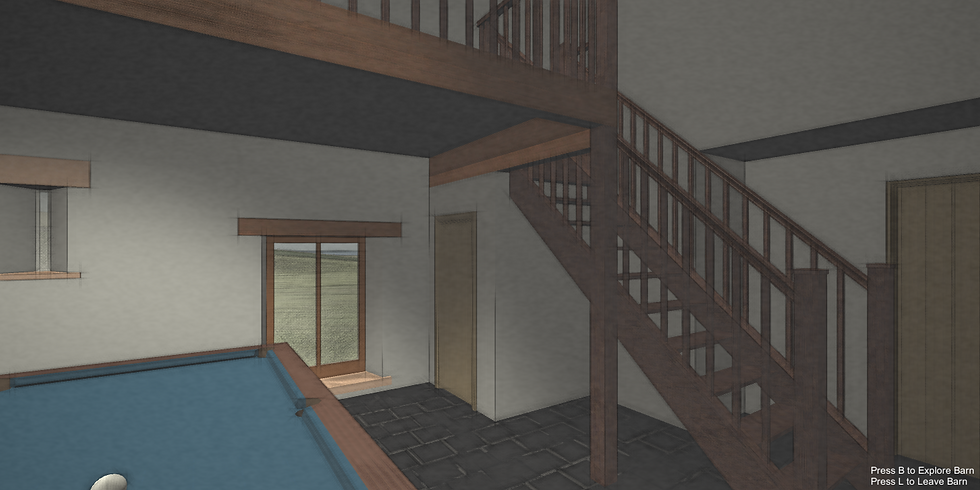
Explore - Walk on the model at ground level at a greater level of detail. This helps to build the feeling of what it would be like to visit a particular area.

Experience - Jump into the model, this can be to go inside a building, on a Steamer or take part in an activity. This is where the Games Engine technology becomes invaluable and offers unique marketing possibilities.
We believe that Great Trails will over an unparalleled planning tool to the potential visitor and powerful marketing tool for businesses in the area modelled. We can’t be sure though, however we do draw some confidence in the concept from Franz Ludiwg Pyffer von Wyher who spent 24 years from 1762 to 1786 creating the largest model of the Alps built so far. You can still visit it today in Switzerland following in the steps of some guy called William Wordsworth who sums things up quite nicely, he had a way with words so I’m told!
“ The spectator ascends a little platform, and sees mountains, lakes, glaciers, rivers, woods, waterfalls, and valleys, with their cottages, and every other object contained in them, lying at his feet; all things being represented in their appropriate colours. It may be easily conceived that this exhibition affords an exquisite delight to the imagination... but it supplies also a more substantial pleasure; for the sublime and beautiful region, with all its hidden treasures, and their bearings and relations to each other, is thereby comprehended and understood at once.”
Wordsworth’s ‘Guide to the Lakes’ (1810)


Comments